Access to free Satellite Imagery for Agriculture Applications
Empower your farm with real-time, cost‑free satellite data for smarter, precision agriculture decisions.
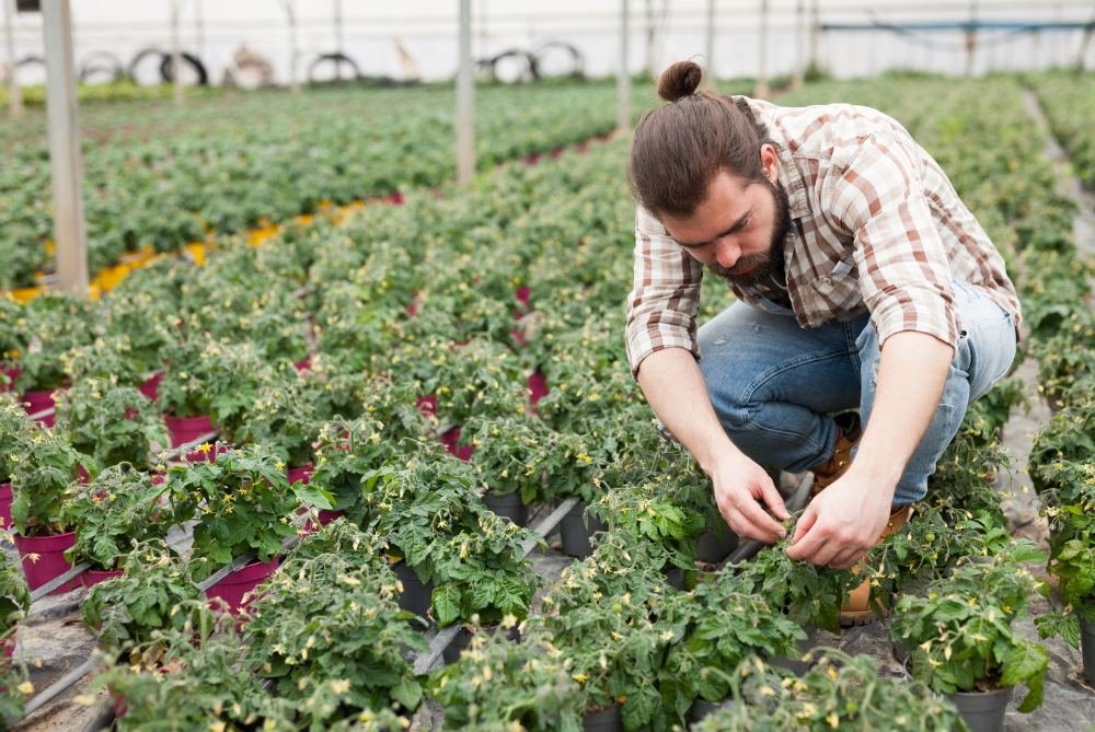
Revolutionizing Agriculture with Satellite & Mapping Services
Experience the power of advanced GIS mapping, drone spraying, satellite imagery, and edge computing for smarter, sustainable farming solutions
Satellite Imagery
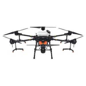
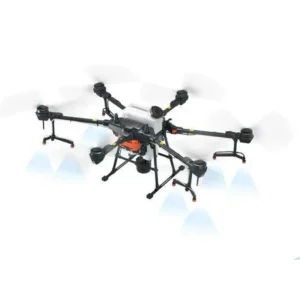
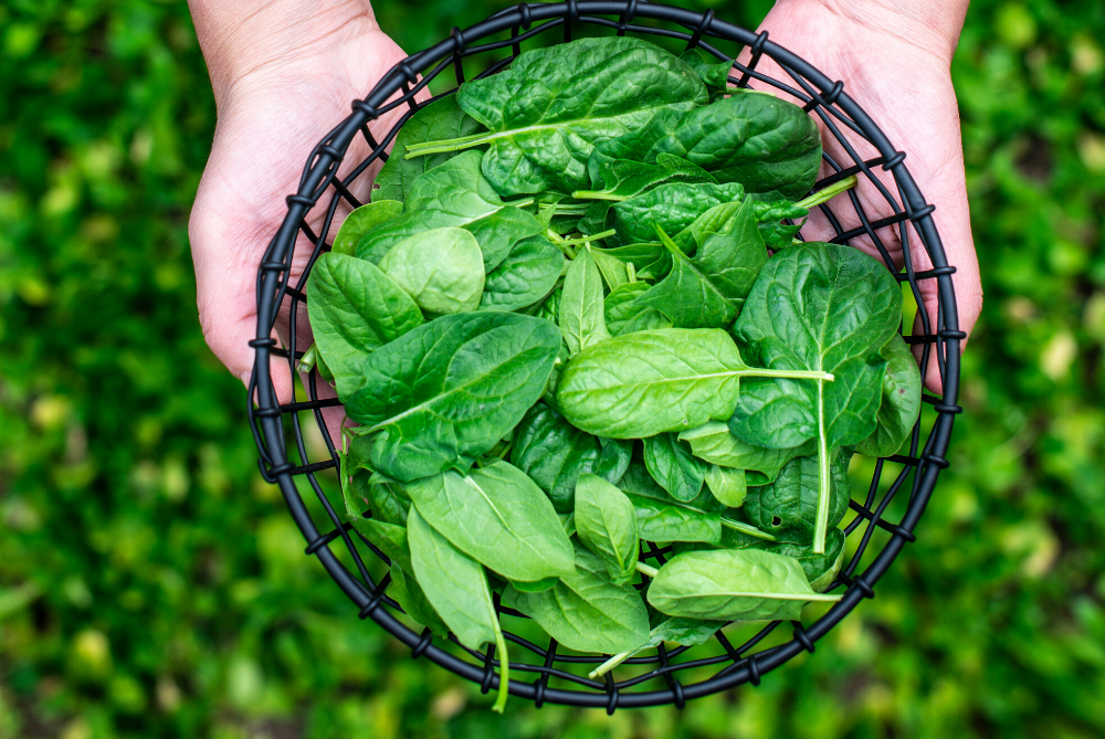
Drone Spraying & Seed Ordering
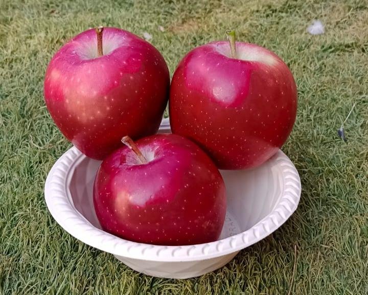
Kisan Deals

Latest SELL Deals

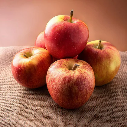
Latest BUY Deals
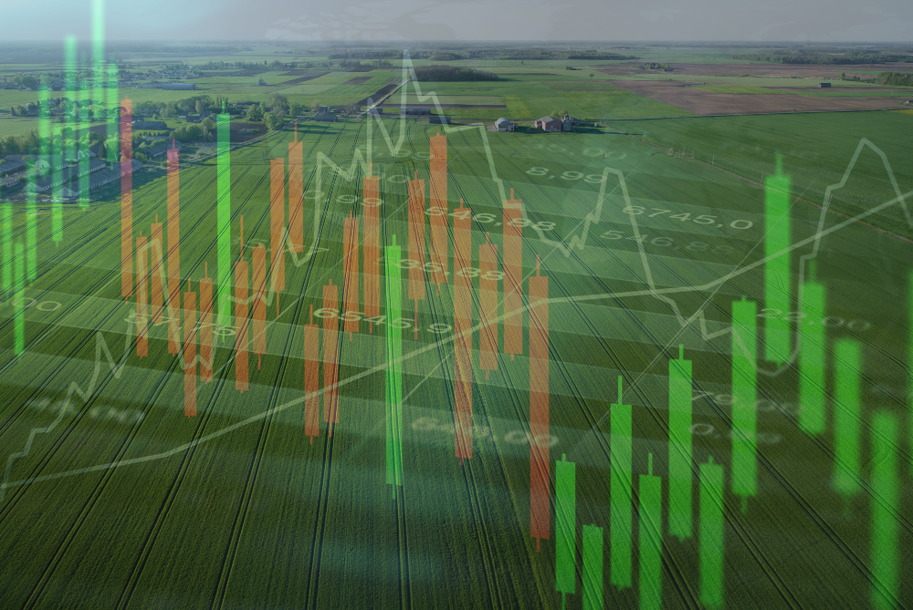
Crop Price Map
Pricing
Basic Plan
Small farms, local projects, and initial feasibility studies
Designed for Small-Scale Needs
GIS Mapping (Basic Area Measurement)
Low-Resolution Satellite Imagery
Drone Survey for up to 10 Acres
Advanced Plan
Medium-sized farms, cooperatives, and agribusinesses
Perfect for Medium to Large-Scale Operations
GIS Mapping with Detailed Analysis
Medium-Resolution Satellite Imagery
Drone Spraying for up to 50 Acres
Crop Health Monitoring via Drones
Premium Plan
Large-scale farming, agritech companies, and research organizations
Comprehensive Solutions for Enterprises
High-Resolution GIS Mapping with Real-Time Updates
High-Resolution Satellite Imagery (Custom Area Coverage)
Drone Spraying for up to 100 Acres
Advanced Edge Computing for Predictive Analysis
GIS
Considering Organic and Conventional Farming from the Perspective of Investing
A trip to your local supermarket will confirm a level of consumer preference for “natural” and healthy organic foods. This trend continues outside of …
Read more
Why Invest in Farmland Instead of Stocks?
While many investors choose to focus their money on the stock market, there’s much to be said for considering farmland as a dependable way …
Read more
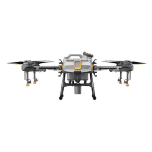
Invest in Agricultural Drones: Transforming Farming Practices
Agriculture is entering a new era of innovation, and drones are at the forefront of this transformation. These high-tech tools are redefining how farmers …
Read more